One shared incident log
Every RFA, hazard report and welfare check lands in one live log with priority, status and assignee, so nothing is chased twice or missed.
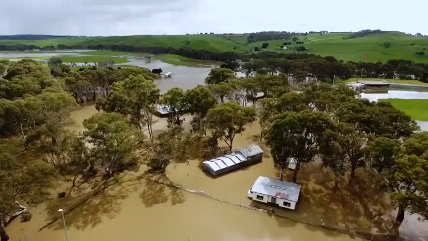
From flood watch to stand-down, coordinate emergency services, council crews, police and welfare agencies in one shared log and map, built for how an emergency operations centre actually runs - whether that means AIIMS in Australia, JESIP and gold/silver/bronze command in the UK, or your own national system.
Floods, storms and bushfires can generate hundreds of RFAs in hours, each needing to be logged, prioritised and assigned before it is lost in radio traffic.
Emergency services, council crews, police, welfare agencies and volunteers all work the same event, often from separate radios, spreadsheets and phone calls.
Roads flood, tracks close and bridges go under as conditions shift, so knowing which communities are still reachable keeps changing.
CommandPost® gives your EOC one shared log, map and set of forms, so every agency works from the same current picture through response and recovery.
Every RFA, hazard report and welfare check lands in one live log with priority, status and assignee, so nothing is chased twice or missed.
Overlay flood extents, evacuation zones and road closures as KMZ or GPX layers alongside site plans, so units see what's passable before they set out.
Build the RFA, damage assessment and welfare check forms your agency already uses, and fill them in from the EOC or from the field.
Emergency services units, council crews, police, welfare staff and utility contacts, with role and how to reach them, visible to everyone on the operation.
Rainfall, wind and the forecast for the operation area sit alongside the log, so the duty manager isn't checking a separate tab mid-briefing.
Open, critical and resolved counts across every team, so an incoming shift or a visiting liaison officer can be briefed without a lengthy handover.
One EOC's log through a rising river: activation, requests for assistance, evacuation, resupply and stand-down.
Overnight rainfall and river gauge readings are logged, the operation is stood up, and emergency service units are briefed against the shared flood map.
Roof leaks, blocked gutters and sandbag requests are logged as they come in, triaged by priority and assigned to emergency service units in the field.
An evacuation order is issued for low-lying properties, the evacuation centre opens at the community hall, and welfare staff join the contact list.
Floodwater isolates a small hamlet, so food and medication resupply is logged as a task and tracked on the map until the crew confirms delivery.
The river peaks below the major flood level, the RFA backlog clears, and the evacuation centre begins stand-down ahead of tomorrow's recovery debrief.
See how CommandPost® supports emergency operations centres through activation, response and recovery, in a demonstration tailored to your agency.